
Search Berkeley County Records by Parcel
No single desk holds everything, so a good Berkeley County property search moves in steps. Begin with the situs address in the WV Property Assessment search. Or use the county address map. Pick Berkeley County and the right district. Then enter a street name or parcel number if you know one. A match can return the owner name, mailing address, legal description and deed reference. It can also show a GIS view. Street labels only go so far, though. Rural roads, old town lots and changed addresses may force a legal-description search instead.
Carry the parcel ID forward rather than trusting a name alone. The Assessor links the parcel to tax attributes. The County Clerk indexes the deed and other recorded instruments. The Sheriff Tax Office shows the bill and its payment status. MapWV and Berkeley Online place the parcel on a map. Planning files cover permits and subdivision actions. The Berkeley County property search steps walk through the full address-to-parcel lookup. These are records of record, not a substitute for a title search or boundary survey.
- Search the address in MapWV, or use Berkeley Online to locate a likely parcel when the street number is not returned.
- Save the full parcel ID, situs, mailing address, deed book and page, and legal description from the assessment result.
- Use the owner or parcel reference in the Clerk index, keeping the recording date and instrument type with each match.
- Check the Sheriff ticket separately for tax year, real or personal property, and paid or unpaid status.
- Use GIS for orientation, then request older books, certified copies, or non-posted records from the office that holds them.
Offices That Keep Berkeley County Property Records
Martinsburg and Hedgesville have no separate city recorder. Berkeley County keeps property records in three main offices. The County Clerk holds land instruments and other clerk records. The Assessor maintains property attributes, values, exemptions and maps. The Sheriff Tax Office handles property tickets and payments. County Planning and the municipalities add permit, zoning and site-plan files. Each desk answers a different part of a parcel question. One office's result is never a complete title record.
Berkeley County Clerk
400 West Stephen Street, Suite 103
Martinsburg, WV 25401
304-264-1927
Berkeley County Assessor
400 West Stephen Street, Suite 106
Martinsburg, WV 25401
304-264-1904
Berkeley County Sheriff Tax Office
400 West Stephen Street, Suite 104
Martinsburg, WV 25401
304-264-1982
Berkeley County Deed Index Years Vary
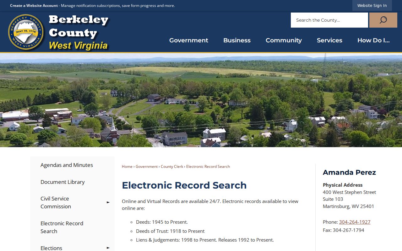
The Clerk's online indexes do not all start in the same year. Deeds run from 1945 forward. Deeds of trust start from 1918. Liens and judgments run from 1998, and releases from 1992. That split explains why an older mortgage can look missing. The deed-of-trust series starts decades before the deed index. A satisfaction may sit in a later release run. Berkeley County land books remain available in the office back to 1884. So 1945 is an online cutoff, not the start of land recording.
Virtual access runs at all hours once a user agreement and account are set up. The Clerk posts a $15 monthly user fee. The first two document pages cost $1.50, and each page after that costs $1. Registration approval typically arrives within 24 hours on a regular business day, excluding weekends and holidays. The service is not a title-search product. The public page sends copy requests to the Clerk. Search within the instrument's date span, then compare names, recording date and legal description.
The County Clerk's coverage and fee page lists the current online terms. It also shows why a Berkeley County document request should name the instrument type. Deeds, deeds of trust and releases follow different index eras.
For records older than the web index, ask at the Clerk's office for the book and grantor-grantee entries. Never assume a record is missing just because it predates the online years.
MapWV Fields Behind a Berkeley County Search
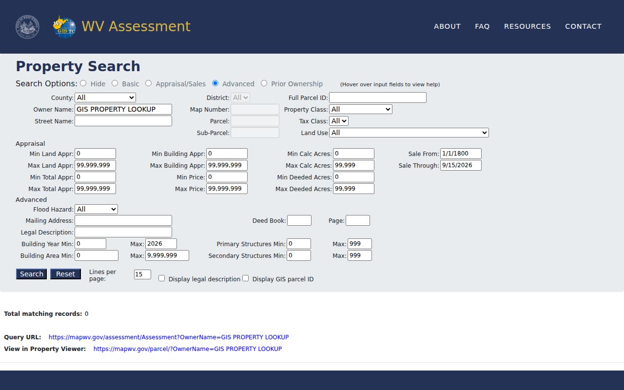
MapWV is the broad public entry for a Berkeley County assessment lookup. Its Basic mode takes county, district, full parcel ID, owner name, map number, property class, street name, parcel, tax class, sub-parcel and land use. Advanced search adds more fields. These include mailing address, deed book and page, legal description, flood hazard, building year and building area. Appraisal and Sales mode filters land, building and total appraisal. It also filters acreage, sale price and sale-date range. The public interface marks no field as required. Exact dropdown choices are not exposed on the page.
Display controls can add the legal description and GIS parcel ID to the result list. Turn them on before copying a match. The legal description carries the deed trail forward. The GIS ID links the assessment record to the map. An owner-name match alone is just a lead. Parcel ID plus deed reference and legal description makes a stronger cross-office match.
| MapWV Group | Fields | Use |
|---|---|---|
| Basic | County, district, owner, street, parcel, class | Locate a likely card |
| Appraisal / Sales | Land, building, total, acres, price, sale dates | Compare roll entries |
| Advanced | Mailing address, deed book/page, legal text, flood hazard | Confirm a cross-reference |
| Display | Lines per page, legal description, GIS parcel ID | Save useful result fields |
The WV Property Assessment search shows the field groups and display options used for Berkeley County parcels.
MapWV releases assessment attributes once a year. A recently recorded sale can therefore appear in the Clerk's deed records before the assessment card changes.
Record Sets for Berkeley County Property Research
Berkeley County keeps its property records in separate offices. Each one answers a different question. Land documents, tax data, parcel maps and regulatory files all live in different places. Match the office to the question you are asking. A recorded conveyance appears in the Clerk's deed index. Appraisal values and exemption details come from the Assessor. Paid status is the Sheriff's answer. Subdivision review starts with Planning before any final plat is recorded. Court filings can explain a boundary or foreclosure dispute. A docket by itself never transfers a parcel.
| Record Type | What It Documents | Kept By | Access |
|---|---|---|---|
| Deeds and plats | Transfers, easements, lot descriptions and recorded subdivision plans | Berkeley County Clerk | Virtual account or Clerk counter |
| Deeds of trust, liens and releases | Recorded debt interests, claims and satisfactions | Berkeley County Clerk | Instrument-specific online coverage |
| Assessment and exemptions | Owner name, tax class, values, acreage and exemption flags | Berkeley County Assessor / MapWV | Free public assessment search |
| Tax tickets | Tax year, ticket, real or personal type, payment status | Sheriff Tax Office | Free inquiry and payment link |
| Permits and plans | Subdivision, site plan, zoning and building review | County Planning or municipality | One Stop or local office request |
Compare the deed's grantor and grantee against the tax roll owner to trace ownership history. The two do not always agree. For a tax balance, pull the Sheriff's ticket rather than the Assessor's appraisal screen. Permits and approved plans describe regulatory review only. The recorded deed and plat carry the land-record references. Map layers add location context without setting a legal boundary.
- Grantor and grantee
- The grantor conveys an interest; the grantee receives it in a deed.
- Parcel ID
- The tax and map key built from county, district, map, parcel and related identifiers.
- Assessed value
- The roll value used in the tax process, distinct from a sale price.
- Plat
- A recorded drawing that lays out lots, blocks, roads or dedications.
Berkeley County Tax Tickets and Redemption
The Sheriff Tax Inquiry takes several routes to a bill. You can search by taxpayer name, account number, tax year, or ticket number. Its suffix works too. District, map, parcel and sub-parcel also work. Filters split real from personal property and paid from unpaid records. A ticket number from a notice is the cleanest path. A name search can surface spelling variants or several accounts. The Assessor handles appraisal and map questions. The Sheriff is the payment office. Real-estate tax tickets go out July 15. If a ticket stays unpaid, it is certified to the State Auditor. That happens after November 1 of the following year. The county example follows a 2021 ticket to certification on November 1, 2022. Auditor auction certification then starts March 1, 2023. Redemption covers taxes, interest, charges and a 7.5% fee capped at $120. An unpaid search result does not prove a sale happened. Check the Auditor record and the county redemption process before treating the parcel as sold. Sheriff Tax Inquiry shows the name, account, ticket and parcel routes. These are used to check a Berkeley County bill.
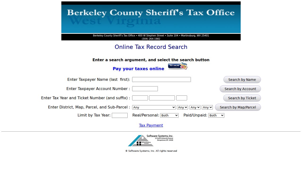
The ticket result settles payment status only. The State Auditor and the county FAQ carry the later certification, redemption and auction steps.
Berkeley County GIS Is a Reference Map
Berkeley County mapping starts with the Assessor's public ArcGIS tax-map viewer. Berkeley Online adds modes for Addresses, Education, Emergency Services, Hydrants and Parcels. MapWV ties an assessment result to the Property Viewer. Together these tools help a researcher orient a parcel. You can compare it with nearby polygons. You can also move between a street label and a parcel ID. Still, the visible map modes prove nothing about surveys or lot lines. A polygon does not reflect every interest in the land. West Virginia is direct on this point. Tax-map parcels serve assessment and reference, not legal boundaries or conclusive proof in court. GIS lines are best-fit views built from deed and survey information. The statewide Viewer may show surface parcels without mineral parcels. A modern parcel split can lag before reaching the digital layer. A recent geometry change can stay missing for a while. If it is still missing after two years, the state advises contacting the local Assessor. Berkeley Online's address and parcel map screenshot shows the county's visible map modes.
Use the map to find the record. For a legal boundary question, turn to the deed, the recorded plat or a licensed surveyor.
Deeded Acres Guide Berkeley County Maps
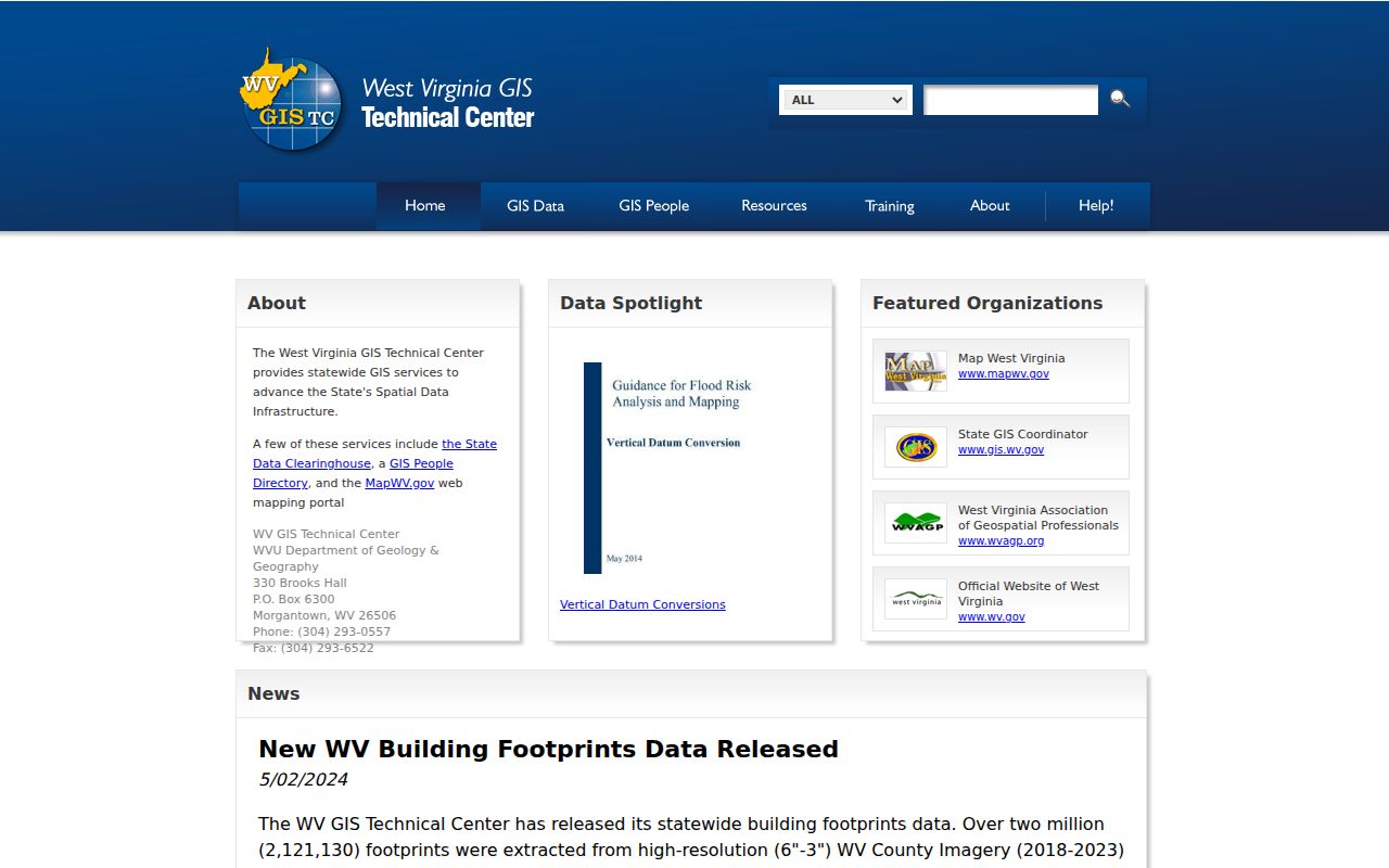
MapWV separates deeded acreage from calculated acreage. Calculated acreage is a GIS estimate drawn from the mapped shape. Deeded acreage comes from the legal description. West Virginia gives deeded acreage precedence for tax assessment under its procedures. The gap matters when a parcel has an irregular outline, an old town-lot description, a right-of-way or a recent split. Keep both values in your notes. Just never cite a calculated figure as the area conveyed in a deed. GIS downloads are reference data too. Under SB 588, passed in July 2017, the state allows surface tax maps and GIS files to be downloaded without charge. The downloads run through the WV GIS Clearinghouse. The annual state master file combines county geometry with assessment attributes. So a downloaded file can differ from a later local edit. Save the file date and metadata when comparing parcel geometry across releases. The WV GIS Clearinghouse screenshot identifies the state download route named by MapWV.
Acreage and boundary disputes follow a different trail. The recorded description and a licensed survey carry weight the tax-map polygon does not.
Berkeley County Plats and Permit Files
The County One Stop portal organizes its planning categories clearly. The list covers Minor Plat, Concept Plan, Detailed Site Plan, and Final Plat. Administrative and major plan changes appear too. So do Re-Plat requests and extensions. As-built and bond-release requests are listed. Waivers round out the categories. A City of Martinsburg Impact Fee category appears as well. Permit data can be searched online without an account. Submitting an application and tracking progress, though, requires one. A completed application triggers a permit-fee payment before plan review begins. The public page leaves the exact search fields, date range and export controls unspecified. A planning application and a recorded plat sit at different points in a land trail. The One Stop file may show a review still underway. The Clerk's land record shows whether a plat was later recorded. Martinsburg runs its own Planning and Zoning Department, and Hedgesville uses form-based town permitting. Check which jurisdiction applies by parcel. A mailing city or ZIP never settles the municipal boundary.
Historic Names Change Berkeley County Searches
An old place name can bury a match deep in a deed book. It can also bury one in a plat index. Hedgesville once went by Skinners Gap along the Warm Springs Road. Gerrardstown turns up as Middle Town and Mills Gap. Darkesville appears in many spellings, among them Darkes, Darkville, James Town, Locke and Buckellstown. Martinsburg shows up as Martins Town, Martins-Burgh, Martinsburgh and Martinsville. Search the variant beside the modern name. Then confirm the parcel through its legal description. Check the adjoining land references in the deed records too.
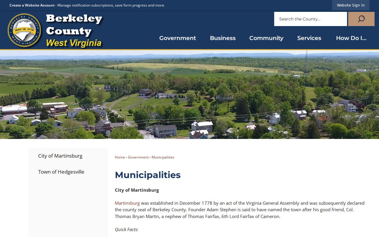
Municipal history matters here too. Downtown land in Berkeley County may carry a lot and block description. It may not use a street number at all. The county recognizes Martinsburg as its seat and traces its settlement to the Virginia era. Treat a historical name as a clue. Never treat it as proof that a parcel sits inside the same municipal boundary today. The Berkeley County municipalities history page supplies that local context for Martinsburg and Hedgesville records.
Run the name through the Clerk and plat indexes first. Then tie it to a current parcel number before any conclusion about the property records.
West Virginia FOIA Fills Record Gaps
Missing an online record does not end the search. Ask the custodian directly for inspection or a copy. West Virginia's Freedom of Information Act, W.Va. Code §29B-1-3, guarantees access to public records unless another law exempts them. Put the request in writing and describe the records with reasonable specificity. Name the parcel and the address. List the owner of record, the document type and the date span you need. The custodian must respond as soon as practicable. The deadline is five days, not counting Saturdays, Sundays and legal holidays.
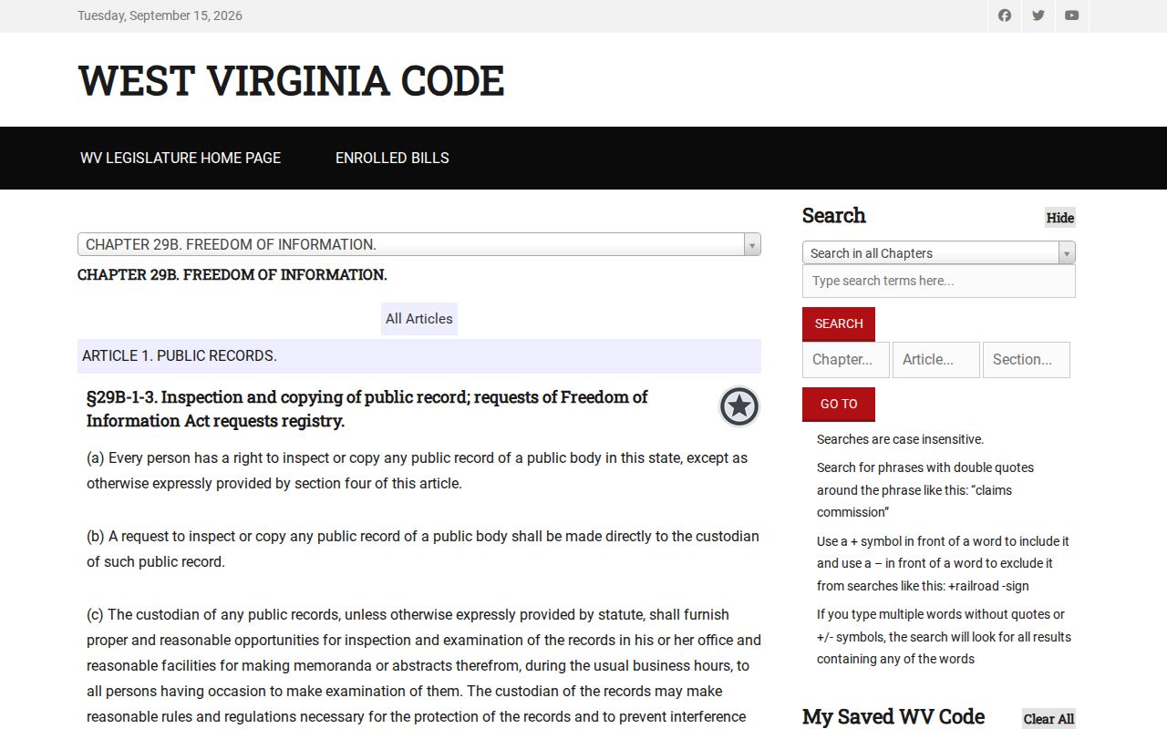
Ask for electronic copies when the office keeps the record that way. For a large series, request a time and place to inspect it instead. The law does not force an office to build a title abstract. It also does not require an answer to a legal question. Exemptions still apply. The Clerk is the fallback for older land books and deed records. Municipal offices handle local permit files. The library or archives can help with directories and historic context. The West Virginia FOIA text sets the rules for Berkeley County requests. It covers the custodian, specificity and response requirements.
Public access has edges. Request only the fields needed for the property records question at hand.
Limits of Berkeley County Property Records
Berkeley County property records show what an office has indexed or mapped. They can trace recorded ownership, assessment, tax status, plats, permits and liens. What they cannot do is prove a negative. No record set proves an unrecorded interest is absent. A mapped edge is not the same as a surveyed line. An assessed figure is not a likely sale price. The Clerk will redact listed sensitive identifiers from a recorded image or copy at no fee. The written request must name the page. Confirm deeds and recording references with the Clerk. Ask the Assessor about a tax roll field. Bring a surveyor or title professional in for anything requiring a legal opinion.
Lawful use. Berkeley County records are for property research, due diligence and civic use. Do not use owner information to stalk, harass or harm anyone.