
Search Berkeley County Property by Parcel
The WV Property Assessment search moves a known address or owner to the county parcel. Pick Berkeley County. Add a district if you know it. Basic search covers owner name, street name, map number, parcel, and sub-parcel. A full parcel ID is the cleanest key once you find it. Berkeley Online also offers an Addresses mode. It helps when a street label is easier to spot on a map than in a form.
A property search counts only when the result matches the right record set. Write down the situs and mailing address. Record the parcel ID. Record the deed book, page, and full legal description. Use the Clerk for a recorded instrument. Use the Sheriff for a tax ticket. Use GIS for orientation. A name-only match stays weak, so trust results that agree on parcel and legal description.
- Choose Berkeley County and the district in MapWV, then try the street name or the owner shown on a tax notice.
- Open likely results and turn on the legal-description and GIS-ID display controls before saving the record.
- Copy the parcel ID, deed book and page, mailing address, and the legal description as separate fields.
- Use the parcel ID to check the Sheriff ticket and Berkeley Online map without mixing tax status with title.
- If the result is older than the online index or lacks an image, ask the Clerk about the counter and copy process.
Choose a Berkeley County Search Key
Each key fits a different clue. Street name can return several cards. This happens often along a long road or where the public form lacks a number. Owner name may turn up multiple holdings. Trusts, estates, and businesses often file under names that differ from a person's name. Parcel ID is the strongest repeatable key after a match. Its long state form, GIS form, and abbreviated district-map-parcel label are not identical. So note which version each office uses.
| Search Key | Best Use | Where It Works | Check Before Reuse |
|---|---|---|---|
| Street or address | Locate a known property | MapWV and Berkeley Online | Street number may be absent or changed |
| Owner name | Find cards tied to a person or entity | MapWV and Clerk index | Names may be shared or indexed differently |
| Parcel ID | Match the same land across offices | Assessment, tax and map tools | Splits and format variants can change the label |
MapWV Search Fields for Berkeley County
MapWV groups its property search into Basic, Appraisal/Sales, and Advanced modes, with Prior Ownership shown as a separate mode. The public form marks no field as required. Treat the fields as filters. No combination of them promises that a result exists.
| Mode | Fields Shown | Search Purpose |
|---|---|---|
| Basic | County, district, full parcel ID, owner, map, property class, street, parcel, tax class, sub-parcel, land use | Find by place, person or tax key |
| Appraisal/Sales | Land, building and total appraisal; calculated and deeded acres; price and sale date range | Filter assessment and sale entries |
| Advanced | Flood hazard, mailing address, deed book/page, legal description, building year/area, structure counts | Refine or cross-check a candidate |
| Display | Lines per page, legal description, GIS parcel ID | Show fields needed for follow-up |
Advanced search takes a deed book and page when a conveyance is already known. Search by legal description if the street name changed. Use it as well when the parcel is a rural tract. The display controls matter here. The legal description bridges to the Clerk. The GIS ID opens the map side of the record.
Reading a Berkeley County Search Result
A Berkeley County result is a set of linked clues, not a single answer. Read the owner name with the mailing address and situs. Compare the parcel ID against the legal description and deed book/page. The form also exposes class and land-use fields. You get acreage, building traits, sale data, and appraisal ranges too. Not every card populates every field. Exact labels can vary.
- Owner of record
- The name on the assessment roll, which can lag a recorded conveyance.
- Situs address
- The location assigned to the parcel, distinct from its tax mailing address.
- Deeded acreage
- The acreage in the legal record; it takes precedence over a calculated map estimate.
- GIS parcel ID
- The map-side identifier, which omits the special ID element from the full root ID.
Never treat the owner field as current without checking the newest recorded deed. A card helps you find the document. It is not a title opinion. The WV Property Assessment search displays Berkeley County's field groups and the choices that shape how results appear.
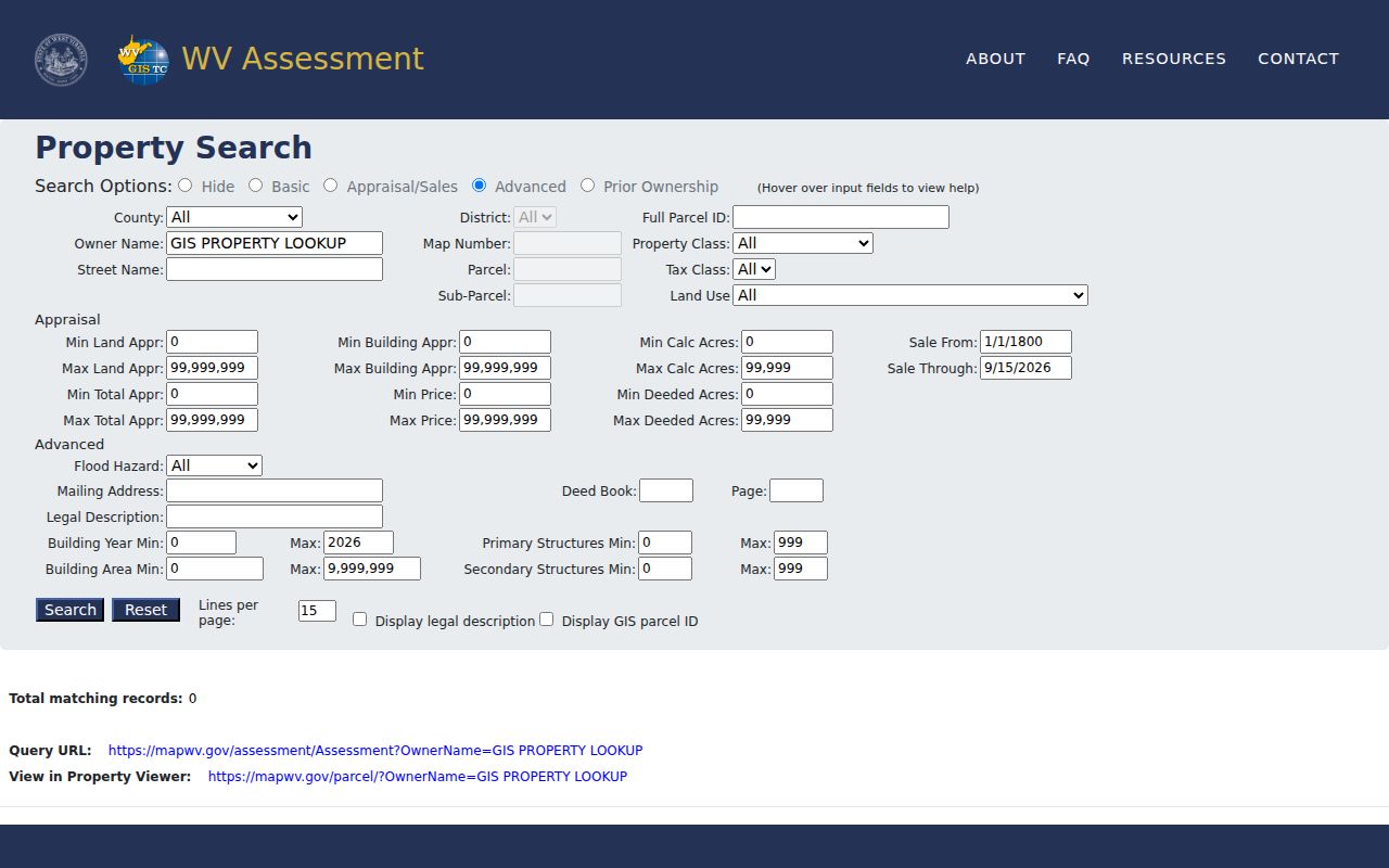
Build a repeatable search from these fields, and confirm each parcel in the official record it comes from.
What a Berkeley County Search Result Shows
Berkeley County assessment results can expose owner name, mailing and situs address, parcel identifiers, appraisal, acreage, building traits, sale ranges, deed book/page, and legal description. The statewide search also links selected entries to the Property Viewer. Not every field carries a value. A card with blank fields is normal. Confirm anything important in the office record.
| Owner of Record | Name carried on the current assessment record |
|---|---|
| Situs / Mailing Address | Parcel location and separate tax correspondence address |
| Parcel Number | County, district, map and parcel identifiers |
| Appraisal and Acres | Land/building values and deeded or calculated acreage |
| Legal Description | Lot/block, subdivision or metes-and-bounds text |
| Sale Reference | Sale range fields and deed book/page when present |
A search result has limits. It shows no unrecorded interests, defines no surveyed boundary, and never guarantees that a sale-price field equals market value. When two offices differ, keep the assessment year, the recording date, and the deed reference distinct.
Berkeley County Roll Updates After Sales
MapWV refreshes its assessment attributes once a year. A freshly recorded deed can reach the Clerk before the Assessor's card shows the new owner. That lag is normal. It is not a failed conveyance. New parcel geometry moves slower still. The state allows up to two years for new geometry to enter the digital viewer. Paper-maintained map changes can take even longer to convert. If a reported map change still looks wrong after that interval, contact the Berkeley County Assessor.
The portal sometimes lists the seller after a closing. Set the Clerk's recording date beside the tax year on the assessment card. That comparison is a timing check. It is not proof a deed failed. Save the full parcel ID and the legal description. A later annual release can then be checked against the same land.
MapWV's appraisal and sales mode displays land, building, and total appraisal values. It also shows calculated and deeded acres plus date or price ranges for sales. Advanced fields cover mailing address, deed book and page, legal description, flood hazard, building year, building area, and structure count. An empty filter proves nothing, though. Missing attributes do not show that no deed, improvement, or sale exists. Treat the visible fields as a doorway into the official record. Verify the underlying document with the office that created it. The Berkeley County Assessor's service page links the public map. It also covers address lookup, tax records, and paper tax maps.
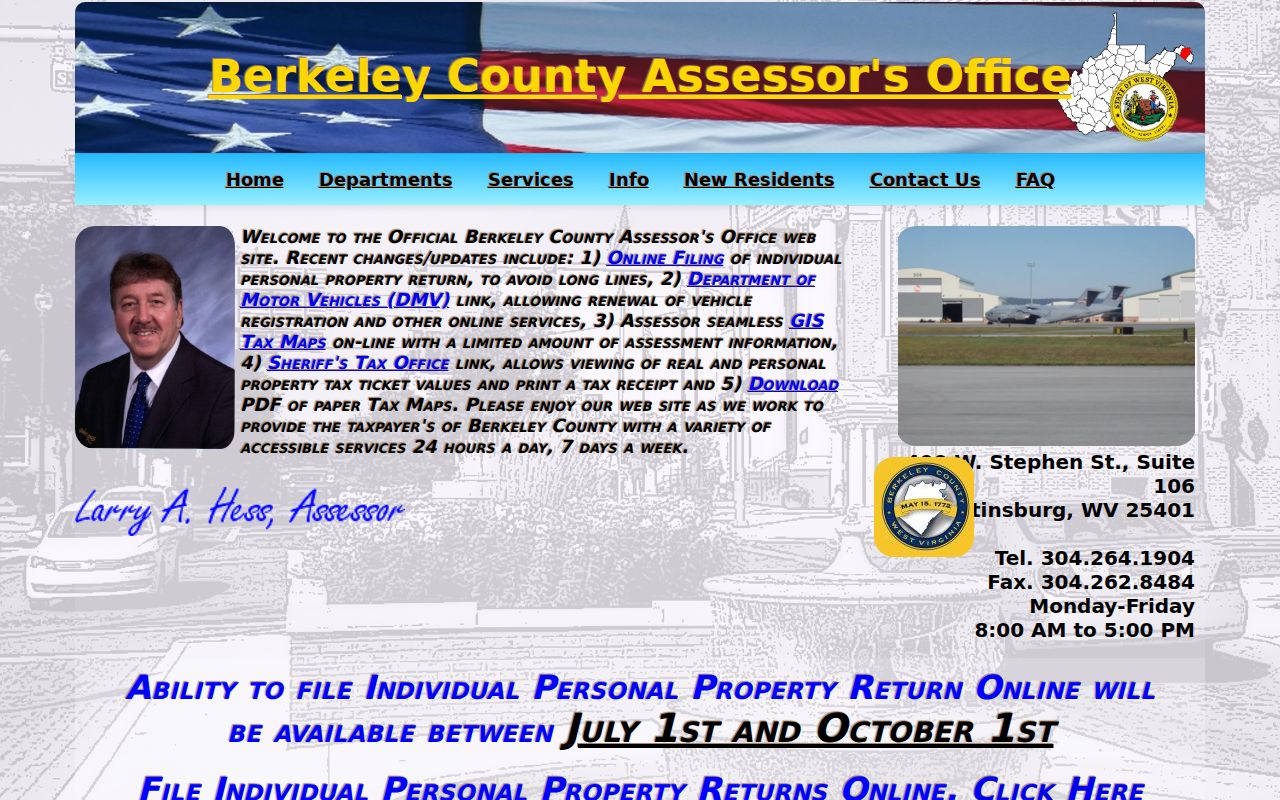
The county service list helps when online results need correction.
Prior Ownership Mode Has Limits
MapWV's form lists a Prior Ownership option. Its fields and historic depth stay limited compared with the Clerk's own index. It may surface earlier names for a candidate parcel. A prior-name result is only a lead. Confirm the full chain in recorded instruments at the Clerk's office.
The Clerk's online deeds begin in 1945. Land books in the office reach back to 1884. When a browser search stops at the online cutoff, ask the Clerk for the older grantor-grantee index. Bring name variants, approximate years, district, map, parcel, and legal description. The counter also serves as the fallback for images or older references beyond a paid virtual account.
Owner Names and Mailing Addresses
Search the name exactly as the parcel record shows it. Then try sensible variants. Names get shared, abbreviated, and held in estates. An LLC may be indexed under its full business name rather than under the person who manages it. The WV Secretary of State portal can confirm a business entity and its registered agent. The land conveyance itself still lives in the Clerk's recorded deed.
A mailing address is not the situs. It may point to a tax-service address, an agent, a post-office box, or an out-of-county office. Search it only as a separate clue. A Martinsburg mailing address does not place the property inside the city. An owner's correspondence location never shows where the parcel sits.
The WV Secretary of State business search offers a public entity lookup for exact LLC or corporate names tied to a property record.
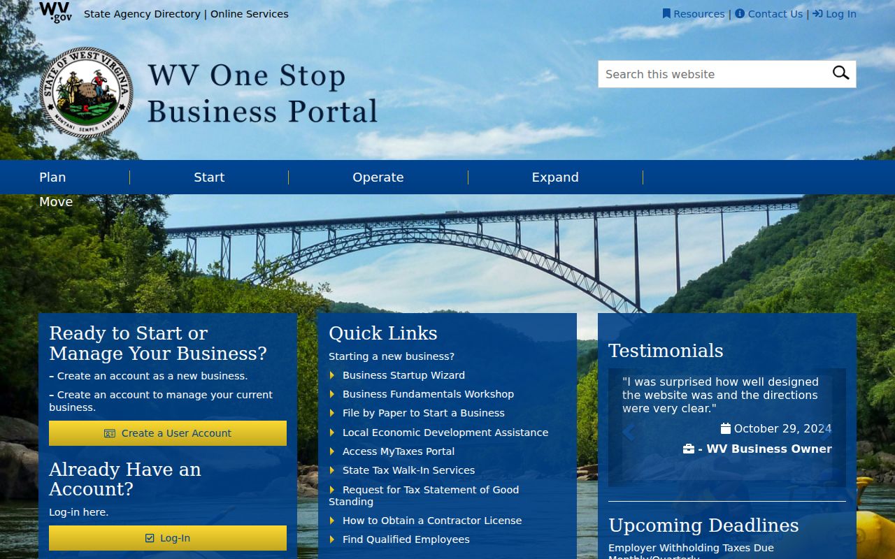
Return to the deed index after checking an entity. That step ties the owner name back to a recorded parcel transfer.
Confirm a Berkeley County Address on the Map
Berkeley Online splits Addresses and Parcels into separate map modes. Use the address view to locate a road or assigned situs, then compare the parcel polygon and identifier against the MapWV result. This helps when Street Name returns several candidates. The match is still map-based. Compare the legal description before carrying the parcel forward.
Keep the address string exactly as entered. Note any alternate road spelling the map displays. Rural routes, renamed streets, and postal-city labels can steer a parcel search toward a different result. A Martinsburg mailing address does not prove municipal inclusion. A ZIP code can extend past an incorporated boundary. When jurisdiction matters for a permit or municipal service question, ask the city office to verify the parcel. Labels alone settle nothing.
Berkeley Online's address and parcel map shows the county's address and parcel modes.
Save the map ID and the assessment ID together. GIS and CAMA identifiers each leave out a different part of the full parcel number.
Search by Address, Owner, or Parcel
Berkeley County property search works best when one key finds another. Start with an address. Narrow to a parcel. Then use the owner or deed reference to check the recorded trail. If a name search returns several cards, compare street, district, legal description, and parcel ID. Trust a result only after those details line up.
| Search Key | Best For | Where It Works | Watch Out |
|---|---|---|---|
| Address | Find a known location | MapWV, Berkeley Online | Number may be missing or changed |
| Owner name | Find assessment cards tied to a person or entity | MapWV, Clerk index | Same names, trusts and estates |
| Parcel number | Repeat an exact land match | Assessment, tax and map tools | Abbreviated forms can differ |
Not a title search. A Berkeley County property search shows records an office has indexed, not every possible interest in the land. Use a title professional for a title opinion and a surveyor for a boundary determination.