
Search Martinsburg Property Records Through County Portals
Ownership, appraisals, tax bills, and recorded deeds for Martinsburg parcels are all Berkeley County records. Start by searching West Virginia Property Assessment with an address or parcel number. That parcel key keeps you from mixing up a city lot. It also prevents confusion with a similar county property nearby. From there, the offices split the work. The Berkeley County Clerk records deeds and other land instruments. The Sheriff's Tax Office handles tax tickets. The county's online GIS map shows parcel boundaries and context. Questions about zoning, permits, or code enforcement go to City of Martinsburg planning staff instead.
- Search the Berkeley County assessment portal with the situs address, then note the district and parcel number.
- Use the parcel and current owner name to locate conveyances in the County Clerk deed index.
- Check the Sheriff’s tax inquiry for the ticket year, suffix, account, and paid or unpaid status.
- Open Berkeley Online to orient the parcel and compare its mapped location with the city boundary.
- For city zoning or permit questions, contact the City Planning Department; the research did not locate a public city permit-result database.
The Berkeley County property-search guide walks through how address, owner, and parcel fields work together. For recorded transfers, search the county deed index rather than assuming a city page keeps copies.
Where Martinsburg Property Records Are Kept
Tracing a lot in a changing city takes patience. Martinsburg property records stretch from old town lots to today's assessment and tax accounts. The paper trail rewards care. Deeds, the tax roll, and parcel maps live in Berkeley County systems. Zoning and development questions, though, may fall to City of Martinsburg offices. A mailing address alone proves little about jurisdiction. Search Berkeley County property records by address first and pin down the parcel. Then match each question to the right record source.
Berkeley County Records (deeds, taxes, parcels)
The Clerk, Assessor, and Sheriff are the custodians for county deeds, values, taxes, and parcel accounts.
Martinsburg Permits & Zoning
232 North Queen Street, First Floor
Martinsburg, WV 25401
304-264-2131 ext. 267
Martinsburg Property Records and the City Boundary
An address label can mislead you about who governs a property. Martinsburg uses ZIP codes 25401 and 25402, yet Berkeley County addresses outside the city may carry 25403, 25404, or 25405. Postal geography is not a boundary layer. A ZIP of 25401, or a Martinsburg mailing line, does not prove a parcel sits inside the city. When permit authority, taxes, or municipal services hinge on location, compare the parcel against an official city-limit map. You can also ask the city planning office to verify the address.
Boundary parcels create the classic trap. A tract may carry a Martinsburg postal address yet stay outside city jurisdiction, or its location description may not match its postal city at all. The assessor account and Berkeley Online help identify the land itself. A zoning determination, though, is a separate administrative question. Keep the parcel number handy when you inquire, so the city checks the correct tract.
Historic Growth in Martinsburg Property Records
Martinsburg dates to 1778, and a post office followed in 1792. Early town history gives old records a flavor quite unlike modern parcel searches. Historic lots may be described by block or street. Some cite an adjoining owner or a deed book reference rather than a clean parcel number. Place names and street labels can shift over the decades. The legal description and the chain of conveyances remain dependable. Together they connect a historic property to a current assessor parcel.
Berkeley County's municipal history offers helpful background on the town's establishment and early growth. Treat it as context. Then verify any individual property transfer through Clerk instruments.
Check the Berkeley County municipal history page before tracing old Martinsburg place names in deeds.
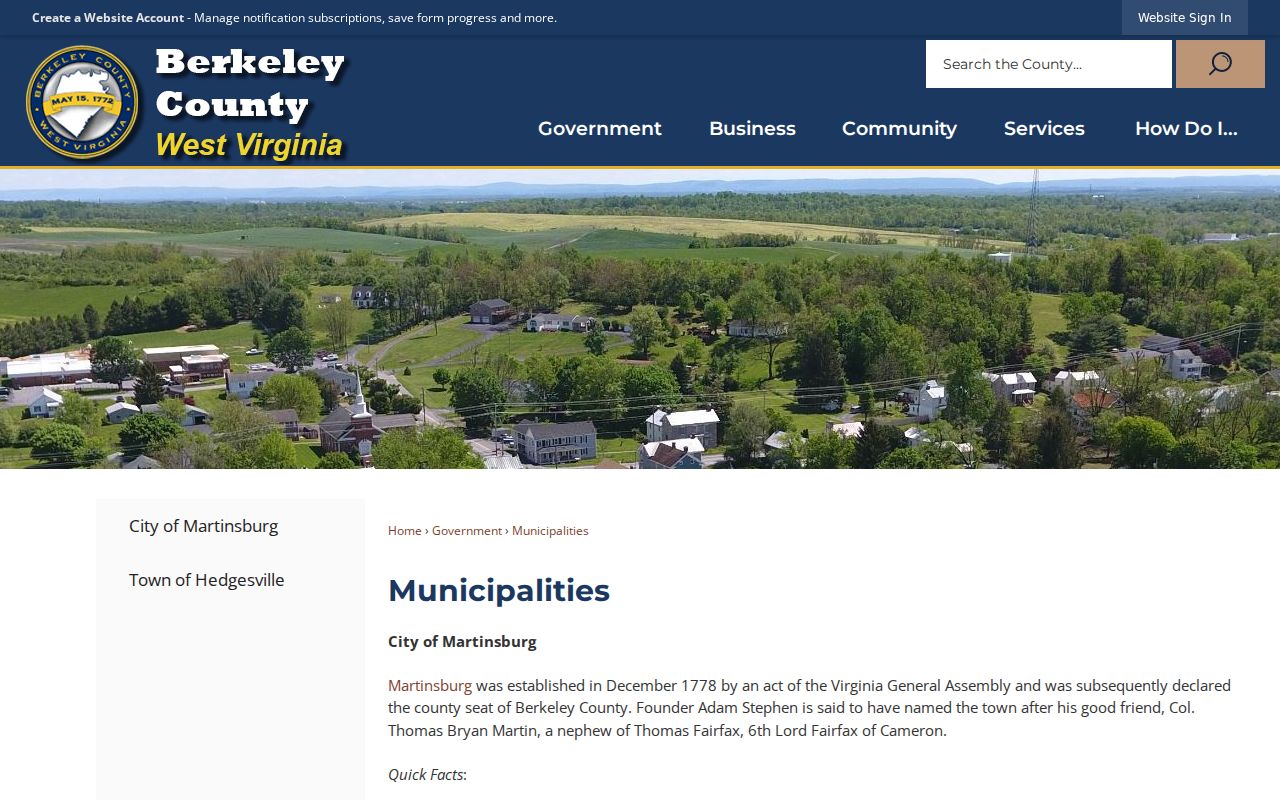
Historical context helps explain place names; the Clerk’s deed records establish the property-specific chain.
Neighborhood Context in Martinsburg Property Records
No official citywide list of neighborhoods or subdivisions exists. The contexts described here are historical and geographic clues. They are not formal recorded subdivision names. They can still help a researcher read an old deed or map with sharper eyes. For any specific lot, rely on its recorded plat name and legal description. Resist assigning an informal neighborhood label where the record supplies something firmer.
| Neighborhood / Subdivision | Era | In the Records |
|---|---|---|
| Historic town core | Early town development | Older deeds may identify blocks, streets, or adjoining owners. |
| B&O rail corridor | Rail arrival in 1842 | Rail and industrial references may appear in historic descriptions. |
| Later city growth areas | Various periods | Use filed plat and parcel description; informal area labels are not proof. |
A deed will often name a plat, block, or lot rather than a street address. When that happens, take those terms straight to the Clerk's index. Run a search on them there. Then compare what you find against the current parcel record. The label on a plat helps you navigate, but it is not the legal description. The deed itself governs. Need help matching a map identifier to a recorded description? See the Berkeley County parcel map guide. It also explains why GIS geometry never substitutes for a survey.
Rail and Industry Clues in Martinsburg Property Records
The Baltimore and Ohio Railroad arrived in Martinsburg in 1842. Its shops earned National Historic Landmark status in 2003. Interwoven Mills opened nearby in 1891. Dates like these give useful context when you read old deeds, industrial parcels, and historic plat maps, though they cannot settle a modern lot line or prove landmark status for any one building. When a property history mentions the railroad, the shops, or the mill, trace the named parcel through its deed descriptions, then confirm today's designation with the preservation agency that holds it.
Industrial tracts often leave a messier paper trail. Large parcels get split over the decades. Business names change hands. Search the exact legal owner name as the deed spells it, and check whether an instrument conveys a whole tract or only one lot, an easement, or a right of way.
Martinsburg's municipal history records tell the city's early story. The Clerk's index holds the conveyances a parcel chronology actually needs. Older deeds may describe streets by names that no longer exist or by adjoining businesses long closed. In that situation, work forward from a known deed using its book, page, and metes-and-bounds calls instead of forcing the old location through a modern street search.
Martinsburg Permit Records Follow City Planning Routes
Zoning, subdivision, building permits, and code enforcement all run through the City Planning Department inside city authority. The office sits at 232 North Queen Street, first floor. The published number is 304-264-2131, extension 267. The city publishes no searchable database that returns parcel-level permit results. So call or visit with an address and parcel key. Ask about the application file or records procedure. Never infer permit history from a county tax record.
County OneStop is a separate portal for county permit and planning applications. Its category list includes a "City of Martinsburg Impact Fee." That label does not turn OneStop into the city's general building-permit archive. Confirm the agency and permit type before relying on any result. This matters most for parcels near the municipal boundary.
Berkeley County OneStop application portal lists the permit categories tied to county planning and impact fees. Start there for county-side applications before contacting the city.
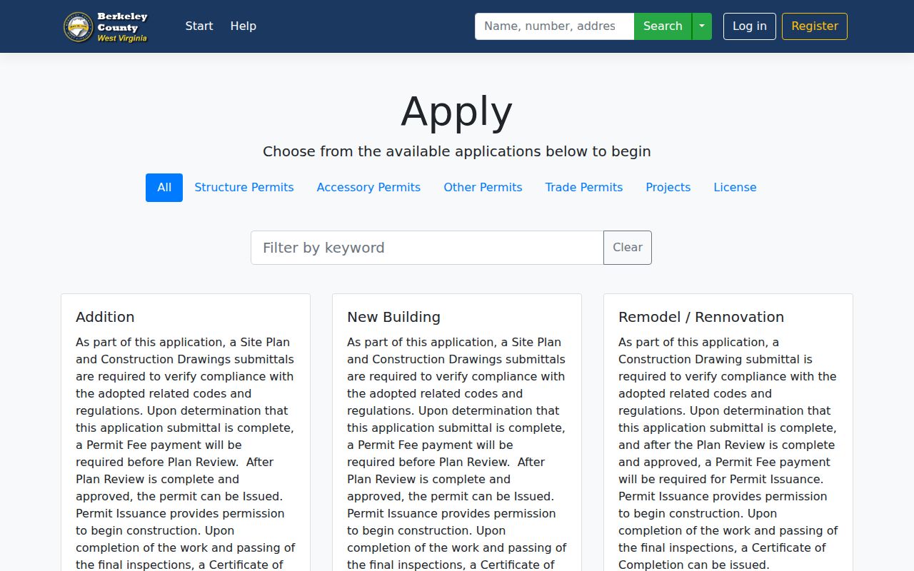
The OneStop screenshot documents county application categories; contact Martinsburg Planning for city-held permit files.
Values and Taxes for a Martinsburg Parcel
A Martinsburg parcel runs through the same Berkeley County assessment and tax systems as any other county property does. Read every value result with its assessment year and parcel number. West Virginia's general 60 percent assessment level drives the tax calculation from the assessed amount. A deed's reported consideration is a separate transaction figure. Need payment status or a delinquent ticket? Use the Sheriff's tax inquiry and match the tax year, ticket suffix, and parcel key.
Jurisdictional questions need their own check. A tax account alone cannot tell you whether a parcel sits inside city limits. A mailing address cannot tell you either. The county tax bill describes only the county tax account. The city's planning office can confirm its own jurisdictional records.
Check Martinsburg Property Records by Parcel, Not ZIP Code
A parcel number is the thread that ties assessment, GIS, deeds, and tax records together. A street address can shift or be formatted differently across systems. The postal city may also cover more land than the municipality itself. Copy the district and map-parcel fields exactly as displayed. An address search may return several candidates. Compare situs, owner, acreage, and legal description before accepting one as the match.
Route each request by its parcel identifier. For city permit work, send the verified number to the Planning Department. For a deed question, contact the Clerk. Give the instrument reference or the grantor and grantee names. That keeps a municipal jurisdiction request from landing at the tax office. It also keeps a land-record request from being read as a zoning question.
What Martinsburg Property Records Show and Their Limits
Martinsburg property records cover assessment accounts, tax status, recorded conveyances, parcel-map context, and municipal planning files held by the responsible agency. Each record has limits. An assessment roll is not a certified title report. GIS lines are not a survey. An assessed value is not a market appraisal, and a city permit search will not surface every county record. When a decision hinges on a detail, check the original document with the office that keeps it.
Lawful use. Public property information supports ownership research, due diligence, and civic understanding. Do not use a Martinsburg owner’s information to stalk, threaten, or harass a person.