
Layers in a Berkeley County Parcel Map
Berkeley County's portals each show a different slice of the map. The Assessor links to a public ArcGIS tax-map viewer. Berkeley Online offers five modes. Addresses, Education, Emergency Services, Hydrants and Parcels each appear as distinct choices there. MapWV adds statewide parcel geometry and flood-hazard context. The table separates what a layer can display from what it cannot establish.
| Layer | What It Shows | Use |
|---|---|---|
| Parcels | Surface parcel polygon and map identifier | Locate a likely tract |
| Assessment attributes | Owner and appraisal data supplied by the Assessor | Cross-check the parcel card |
| Addresses and roads | Street and E-911 context | Resolve a situs to a parcel |
| Flood hazard | Effective and advisory flood-area display | Risk context, not a title limit |
| Districts and services | Published community or service context | Check local jurisdiction |
Read the parcel ID and legal description together. MapWV refreshes its assessment attributes each year, while GIS geometry can lag behind a transfer or a parcel split. Carry the identifier into the Clerk's deed index. Use the Sheriff ticket for tax status. A map is a route, not a substitute.
Berkeley Online also treats Education, Emergency Services and Hydrants as thematic views beside Addresses and Parcels. Those layers orient a site or flag service context. They cannot establish a recorded easement, a school assignment or a permit approval. Confirm each question with the office holding the record. A location inside a map view is not proof of a legal right or service entitlement.
Berkeley Online Modes and Parcel Search
Berkeley Online splits Addresses and Parcels into separate map modes. Education, Emergency Services and Hydrants are listed alongside them. Roads are easier to spot on a map than in a form result. Find the situs first. Then switch to parcels and note the identifier shown for the polygon. The Assessor's ArcGIS viewer is another public tax-map route. That office describes its assessment information as limited, though. Mode choices appear on Berkeley Online's address and parcel map.
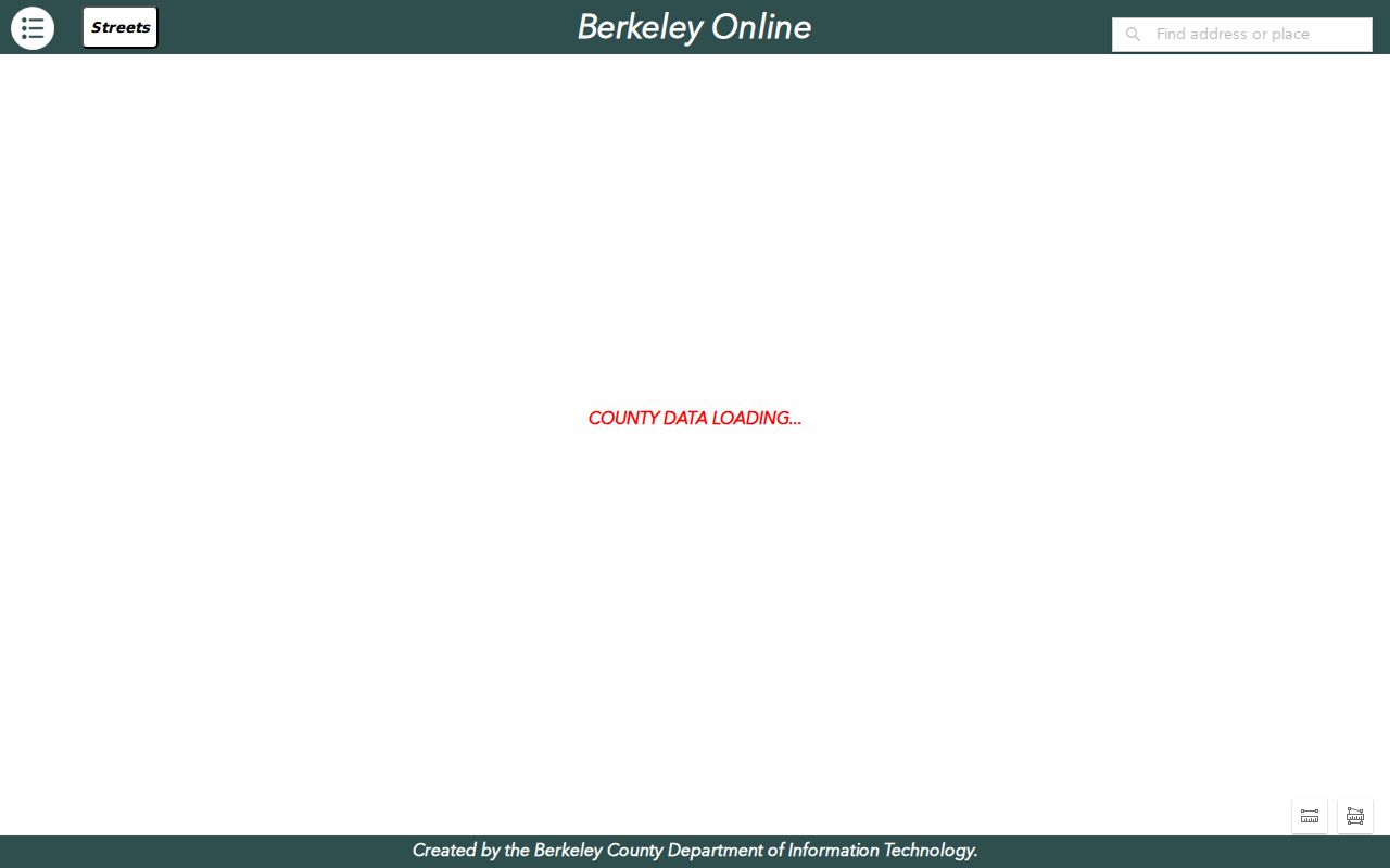
The view helps orient a search. Confirm which parcel an address represents through the assessment record or the recorded deed.
Berkeley County Parcel Number Parts
West Virginia builds a root Parcel ID from six pieces. These are county code, district code, map number, parcel prefix, parcel suffix and special ID. Pick values from the live county and district lists. Do not copy a neighboring county's example. MapWV notes that the GIS Parcel ID drops the special ID. The CAMA/IAS form omits the county code. An abbreviated label may show only district, map and parcel.
| Part | Role in the Identifier | Cross-Portal Note |
|---|---|---|
| County / District | Places the parcel in the county scheme | Select Berkeley County and district from the form |
| Map / Parcel | Identifies mapped parcel components | Abbreviated results may omit other parts |
| Prefix / Suffix | Separates parcel segments | Retain punctuation and leading zeroes |
| Special ID | Final component of the root ID | GIS ID may leave it out |
Keep all three forms together. The long state ID, the GIS ID and the local district-map-parcel label each unlock a different system, from MapWV to Berkeley Online to the Sheriff ticket.
Finding a Berkeley County Parcel by Address
Start with the address map. Berkeley County situs labels can mislead, since an address may be missing, abbreviated, newly assigned or shared by several units. Check the label and district first. Then open the polygon and note the identifier, and save the deeded acreage too. A shape measurement alone is not enough.
- Find the street or E-911 address in Berkeley Online or search its street name in MapWV.
- Open the likely polygon and copy its parcel ID, district and legal description.
- Check the flood-hazard layer only as planning context and note the layer date.
- Compare the polygon with the Assessor result and the recorded deed or plat.
- Parcel ID
- The tax-map and assessment key for a land record.
- Plat
- A recorded drawing showing lots, blocks or dedications.
- Lot and block
- A parcel description tied to a recorded subdivision map.
- Metes and bounds
- A legal description written as calls and distances.
- Easement
- A recorded right to use part of the land for a stated purpose.
Deeded Acres Outrank Berkeley County GIS
Calculated acreage comes from the mapped polygon. Deeded acreage comes from the legal description. Under West Virginia's procedures, MapWV states that deeded acreage takes precedence for tax assessment. The gap can matter for irregular parcels, old town lots, road rights-of-way and recent splits. Keep both values in your notes. The mapped area is not the amount conveyed, and the WV GIS Clearinghouse is the state download route for the surface tax-map data named by MapWV.
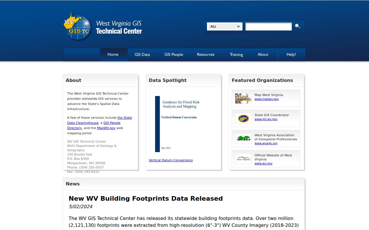
File dates and metadata tell you what you downloaded when a newer online map appears.
Flood and Mineral Layers in Berkeley County
MapWV displays effective 100-year flood hazard areas plus advisory A or updated AE areas. These overlays are context, not deed restrictions. They do not prove a parcel can be insured. Note the layer name and map date when a parcel touches a zone. Formal flood determinations belong with the floodplain authority.
The Viewer may omit mineral parcels entirely. A deed can reserve mineral rights that never appear in the surface polygon. Read the recorded reservation. For mining or mineral language, consult the WV Tax Division or the Mined Minerals GIS Section. An empty mineral layer does not mean no mineral interest exists, and the WV Property Viewer documents the assessment and flood-map context.
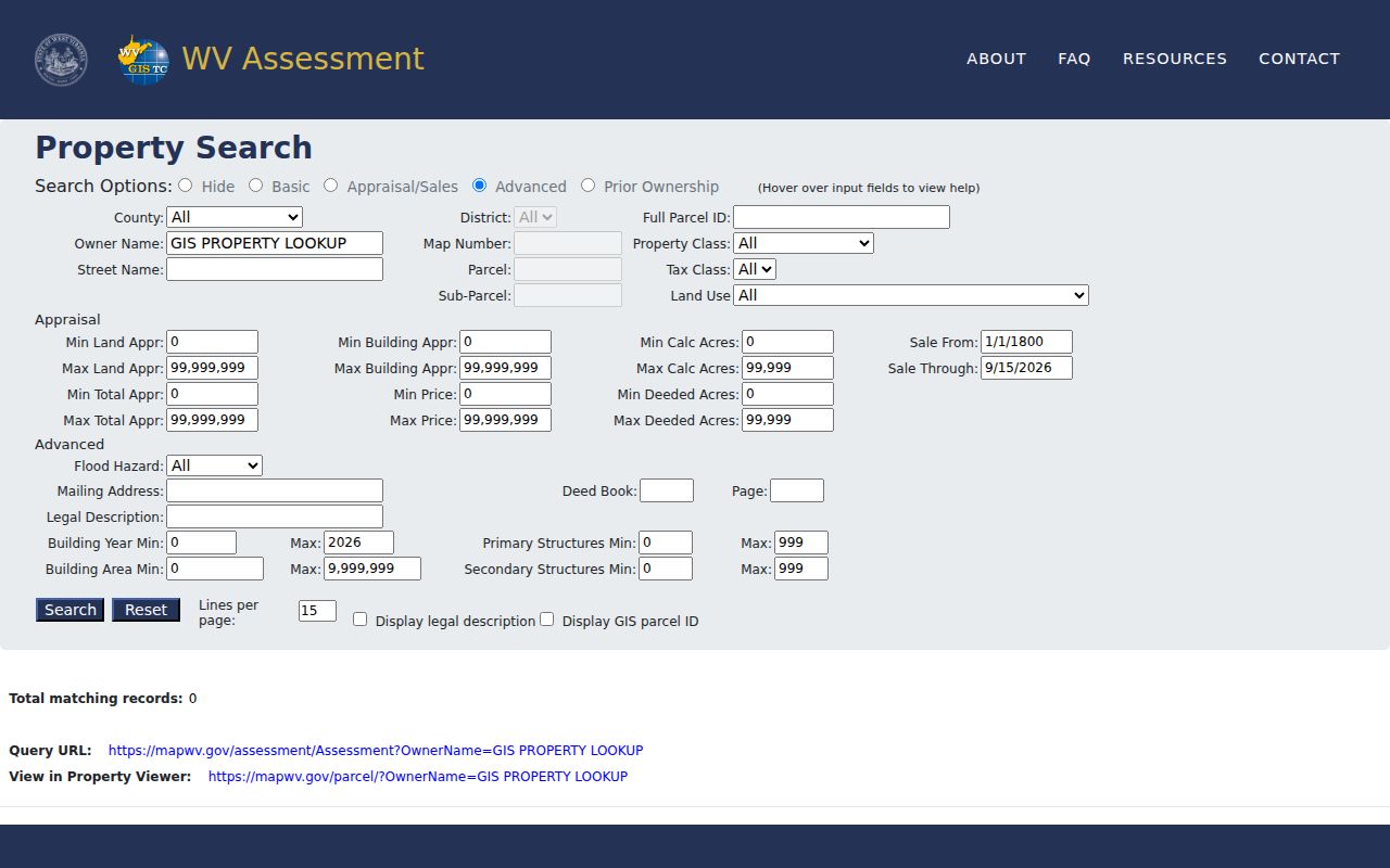
A selected parcel can touch more than one overlay. Colors alone can mislead, so read the legend.
Berkeley County Plats and Re-Plats
A recorded plat shows how a lot, block, road, or dedication fits together. It also shows how the parcel matches a Berkeley County tax-map parcel. The Clerk's index is the place to begin. Search by subdivision name, lot and block, plat book and page, or developer when those details are known. Planning files come first, though. The County One Stop portal lists Minor Plat, Final Plat, Re-Plat, and related planning categories. Those categories can point toward a current review. Keep one thing clear: an application is not a recorded plat. Only the Clerk's land records confirm a final plat. So close the loop there once the planning file is reviewed.
For the subdivision layout itself, the recorded drawing is the source to trust. A GIS basemap helps with orientation only. A licensed surveyor settles a boundary question. Berkeley County's public pages offer no single authoritative subdivision inventory with plat-book references. So treat any subdivision name or date as unconfirmed. The Clerk index must verify it first.
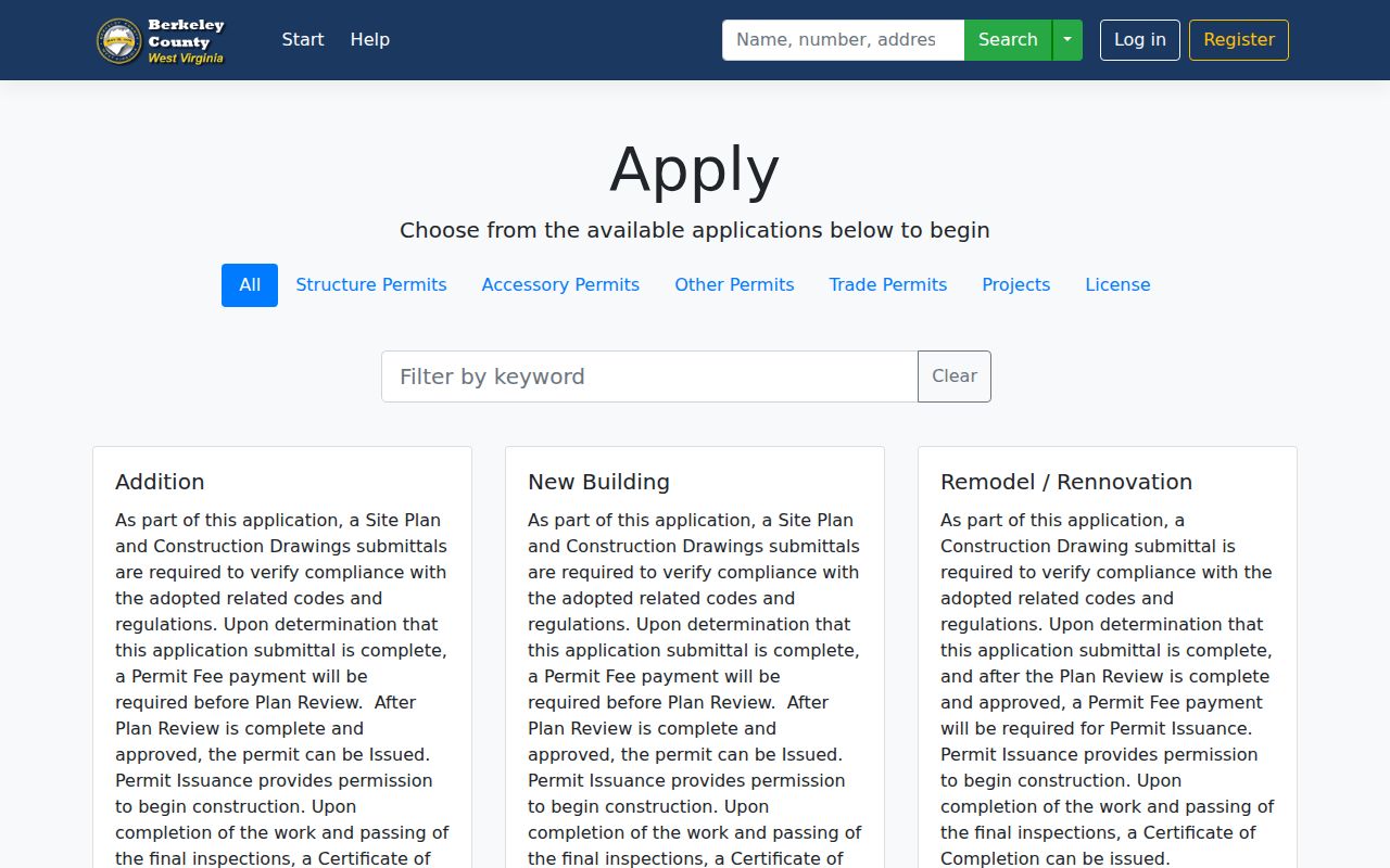
Confirm every final recorded event in the Clerk's land records before relying on the planning file.
Free Berkeley County GIS Downloads
Free digital surface tax maps and GIS files are available through the State Data Clearinghouse, as MapWV explains under SB 588, the July 2017 law requiring no-charge access. The state builds an annual master surface-parcel file each year. It merges county geometry with assessment attributes. Berkeley County still maintains the local map data itself. One caution applies. A downloaded file can carry a different release date than the online viewer. Save the metadata and source date before relying on anything in it.
Surface GIS files have limits worth knowing. They leave out some mineral interests. They also inherit the map's reference shortcomings. Treat them as tools for comparison, research, and orientation. For a legal description or the owner of record, pull the recorded deed instead. For a line dispute, get a survey.
Comparing a download against Berkeley Online takes some bookkeeping. Keep the source name, the release date, the coordinate reference, and the parcel ID version. Geometry in one release may lag a recent deed or lot split that another release already shows. Berkeley County property records note that geometry updates can take up to two years. So a newer picture is not always a newer legal event. Rely on the most recent recorded conveyance and plat. If the tax map still looks inconsistent after that update period, contact the Assessor.
What Berkeley County Parcel Maps Do Not Prove
West Virginia is direct on this point. Tax-map parcels exist for assessment and reference only. They are not legal boundaries. They do not prove anything conclusive in court. Map lines are best-fit views drawn from deeds and surveys. Geometry maintained on paper can take years to reach the digital viewer. State guidance says to call the local Assessor. A line may still look wrong after two years. A recorded plat or survey serves a different role than the tax map ever will.
The gaps can be subtle. A county GIS map may show surface tax parcels. The deed may reserve mineral rights beneath them. An older document may describe land with bearings that fit no screen polygon cleanly. The display may also lag a filed split, combination, or road dedication. When construction, lending, a sale, or a dispute turns on the exact line, order a current professional survey. Review the recorded documents. Do not measure a screenshot.
Not a survey. Berkeley County GIS lines are reference features. For construction setbacks, a boundary dispute or a legal description question, ask a licensed surveyor to determine the line.